It’s fair to say that artists’ renderings of satellite systems in orbit are pretty common. Yet images of satellites in orbit taken by other satellites in orbit are a whole different ballgame.
This is precisely what the Twitter account of NASA’s Landsat Program provided on April 3. In a two-second video posted in a Tweet, we see a series of ‘satellite-to-satellite’ images. Here, NASA’s Landsat 8 satellite was pictured orbiting Earth by Maxar Technologies’ commercial WorldView-3 observation satellite. According to the Tweet, the images were given to NASA by Maxar directly.
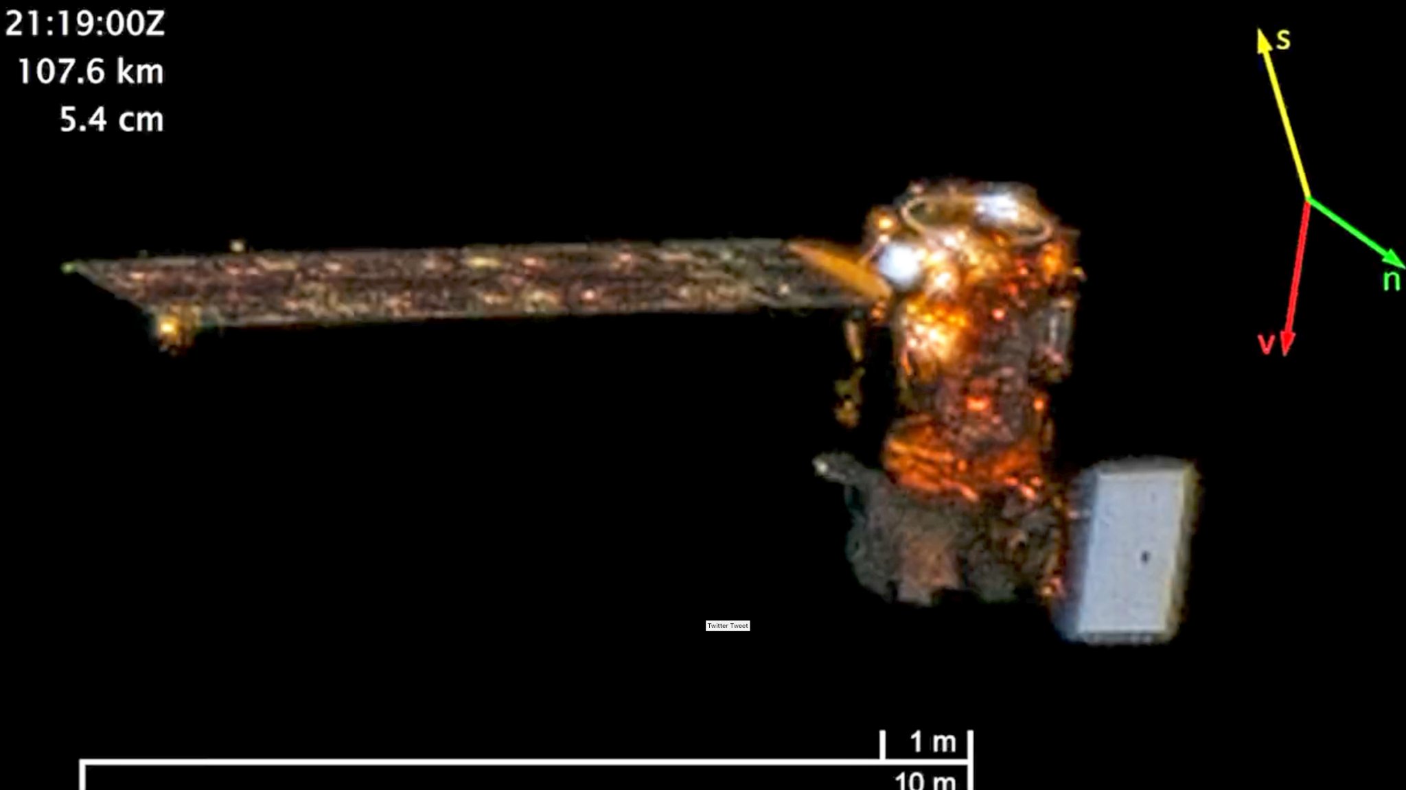
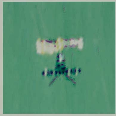
Information in the upper-left-hand corner of the images indicates they were in fact taken on October 7, 2022. In them, we see Landsat 8 approaching WorldView-3, initially at a range of around 80 miles (129.9 kilometers) in the first image, with the final image showing a range of just over 56 miles (91.4 kilometers). The satellite’s distinctive bus can be seen glowing orange alongside its 9 × 0.4-meter deployable solar array to the left. The gray rectangular-shaped object to the right of the satellite is a Thermal Infrared Sensor (TIRS) used to capture thermal images. The other part of Landsat 8’s payload, the Operational Land Imager (OLI), captures images in the visible, near-infrared, and short-wave infrared portions of the electromagnetic spectrum.

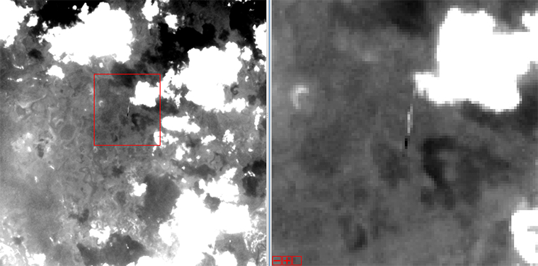
Of course, this isn’t the first time we’ve seen satellite-to-satellite images or even photos of Landsat satellites captured by other satellites in orbit. In 1998, as an example, the European Space Agency’s (ESA) ERS-1 was photographed by the Spot-4 Earth observation satellite of the French space agency CNES. More recently, in November 2013, Landsat 8 overflew Landsat 5 over northwestern Brazil, resulting in some low-resolution images of the latter.
More than this, the recent images of Landsat 8 taken by WorldView-3 point to the broader use of satellites to spy on enemy satellites.
Indeed, the U.S. Space Force has not only invested in technologies to better detect enemy satellites creeping up on friendly ones in recent years from the vantage point of Earth, but has also launched ‘inspector’ satellites specifically to monitor the satellite capabilities of foreign powers. As we highlighted in this past War Zone piece, various satellites launched as part of Space Force’s Geosynchronous Space Situational Awareness Program, or GSSAP, since 2014 not only allow the service to locate and identify objects in this distant orbit. They can also be used to maneuver close to those objects in order to inspect them or assess their capabilities.
The U.S. is not the only nation to have launched ‘inspector’ satellites by any means, or to use spy satellites to spy on other satellites. China and Russia are known to have launched their own inspector satellites – Russian inspector satellites have been used to shadow U.S. satellites on multiple occasions in the past, too. In rare cases, some satellites – such as China’s Shijian-21 satellite, or SJ-21 – have grappled other satellites out of orbit.

The ability to manipulate enemy satellites in orbit via other satellites, which can include electronic jamming, microwave attacks, blinding optical units with bright lasers or chemical sprays, firing objects at them, smashing into them, or attaching themselves and manipulating them, is a quickly growing facet of what is an increasingly contested warfighting domain. In fact, the head of U.S. Space Force has revealed that attacks on U.S. assets in space are now a daily occurrence, although the vectors of those attacks remain unclear.
That being said, just imaging another satellite in orbit, which is more challenging than it may seem due to the highly dynamic and high-speed nature of that environment, has been a tenet of orbital espionage. It also doesn’t violate international laws and agreements. Critical information on a satellite’s capabilities and a country’s technological capabilities can be obtained by visually examining it. In doing so, its potential vulnerabilities can also be assessed, which is more relevant now as space becomes increasingly hostile and capabilities are deployed to counter other satellites in orbit.
Of course, the imaging capabilities of U.S., or peer competitor, satellites, especially ones that can maneuver close to their target, would be far superior to what we are seeing in these images from Maxar.
As for Landsat 8, it celebrated the 10th anniversary of its launch this year – the satellite was launched from Vandenberg Air Force Base, California on February 11, 2013. Landsat 8 “provides moderate-resolution (15-100 meters) measurements of Earth’s terrestrial and polar regions in the visible, near-infrared, short wave infrared, and thermal infrared,” according to NASA.

Landsat 8 works alongside the Landsat Program’s various orbital satellites, designed to continuously observe the Earth’s surface. Representing a collaboration between NASA and the U.S. Geological Survey (USGS), the Landsat Program’s roots date back to the 1970s with the launch of Landsat 1 in July 1972. Landsat’s land imaging data set supports a range of objectives, including land use planning, disaster response and evaluations, water use monitoring, as well as aiding NASA’s own research into climate change and alterations to the Earth’s surface/interior. The program’s most recent satellite, Landsat 9, was launched in September 2021, while a “superspectral” ‘Landsat Next’ is expected to launch in late 2030.
While the recent satellite-to-satellite images of Landsat 8 are fascinating to see, and were taken in good faith, they also remind us of what is going on in the deeply secretive orbital battlefield.
Contact the author: oliver@thewarzone.com
Loading comments…
Comments couldn’t be loaded. Please refresh the page.