G-induced loss of consciousness, more commonly known as G-LOC, has claimed an untold amount of fighter pilot’s lives around the globe. Reclined ejection seats and g-suits that inflate and squeeze the lower body to keep blood flowing to the brain all help with this G tolerance, but they don’t help once a pilot has succumbed to gravitation forces. This is where the Automated Ground Collision Avoidance System (Auto-GCAS) comes into play, turning the controls over to a computer if the jet is set to collide with ground and is not overridden by the pilot.
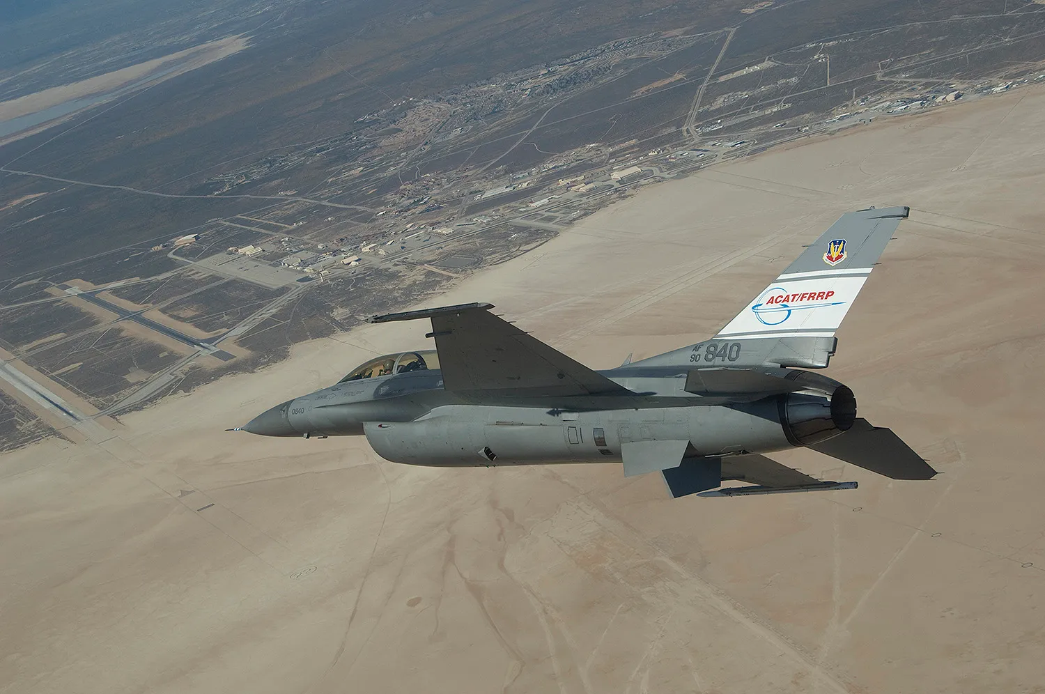
Auto-GCAS is not just an autopilot mode tied to an altimeter. It is a complex system that took decades for the USAF, NASA and the Swedish Air Force to develop, including operational testing where fighter pilots had to nose their jets into the ground to activate the system (you can read all about those flights here and you can see a video of one of them posted in this article). Sweden was particularly interested in the project because they historically lose a lot of aircraft and crews due to controlled flight into terrain (CFIT) and operate regularly at lower altitudes than the USAF.

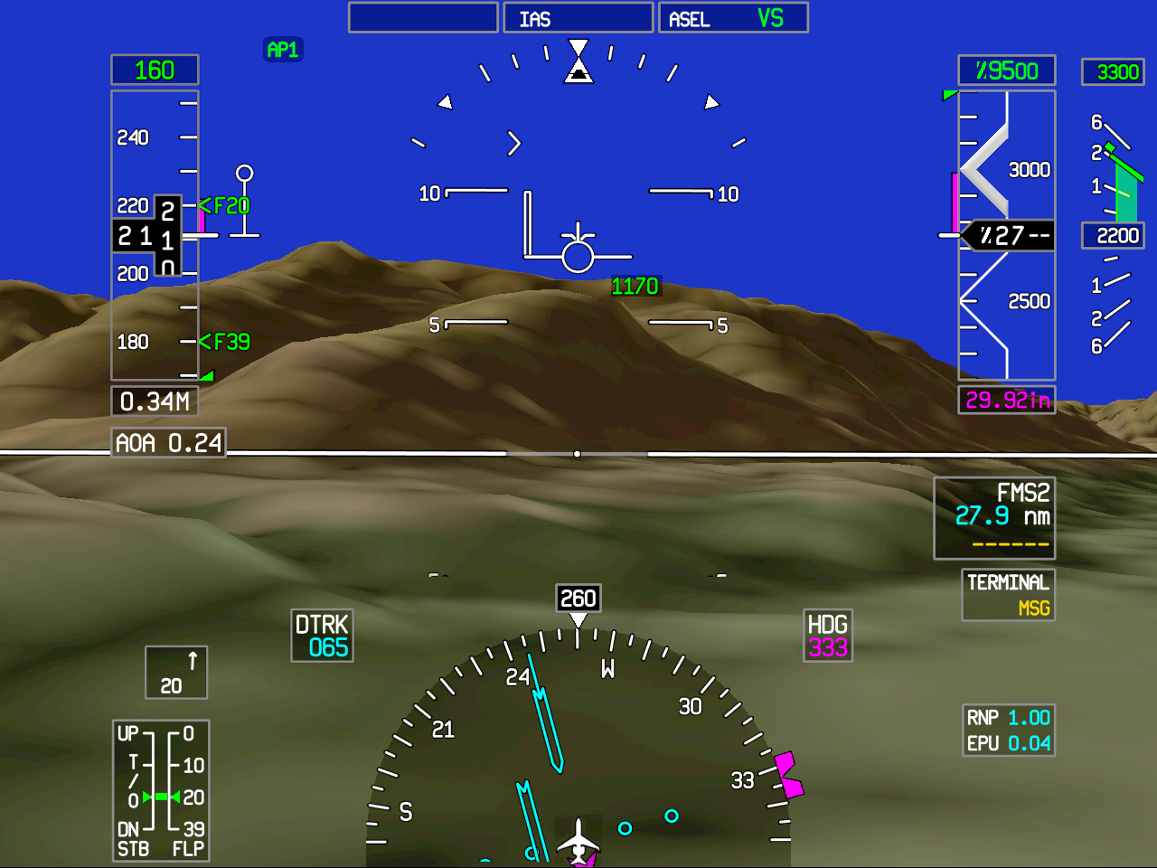
The Auto-GCAS system works by comparing the jet’s position, altitude, bank angle, speed, heading and gross weight against a set of terrain profiles, called the Digital Terrain Elevation Database, stored in its memory banks. In a sense, Auto-GCAS sees the entire ground below and around the jet, although virtually within its memory banks, at any given time. This way it can not only warn when a collision is imminent, but can also autonomously direct the aircraft’s path for the most favorable recovery.

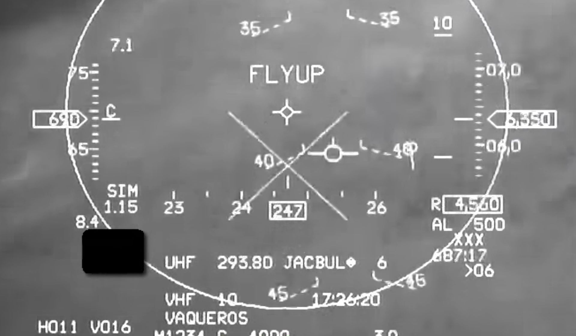
The video of the USAF Viper pilot’s near-death experience, which was originally posted over at Aviation Week, has the following description:
“In this instance, an international F-16 student pilot was undergoing basic fighter maneuver training with his USAF instructor pilot in two separate F-16s over the U.S. southwest. The student rolls and starts to pull the aircraft but experiences G-induced loss of consciousness (G-LOC) as the F-16 hits around 8.3g. With the pilot now unconscious, the aircraft’s nose drops and enters a steepening dive in full afterburner from an altitude of just over 17,000 feet.
After only 22 seconds, the F-16 is nose-down almost 50 degrees below the horizon and going supersonic. The shocked instructor calls “2 recover!” as the student passes 12,320 feet at 587 knots. Two seconds later, the clearly concerned instructor again calls, “2 recover!” Then, at 8,760 feet and 652 knots, the Auto-GCAS executes a recovery maneuver.
The student pilot at this point regains consciousness and pulls back on the stick, momentarily increasing Gs beyond the Auto-GCAS standard recovery level. Minimum altitude by now is around 4,370 feet, with as little as 2,940 feet indicated on the radar altimeter. From loss-of-control to recovery takes just under 30 seconds.
Auto-GCAS was deployed with an aim to reduce ground collisions by fighter jets by 90%, and the system, which is now deployed on Block 40/42 and 50/52 F-16C/Ds will be able to be migrated to other aircraft, both old and new, in the future. Commercial and civilian applications are also evident as the system could greatly reduce, if not eliminate entirely, the possibility of controlled flight into terrain for aircraft equipped with it.

Similar technology also has other military applications. Low flying aircraft, manned or unmanned, could potentially be fitted with a similar system that focuses on nap-of-the-earth flight and navigation, not saving pilots from flying into the ground due to misjudgements or unconciousness.
The advantage of such a system would be that the aircraft could operate in an electromagnetic emissions silent manner while still flying in this extremely challenging environment. This is how stealthy aircraft best fight as the signals they give off can give their presence away almost as easily as a strong radar return. A “synthetic” terrain-following system may even allow unmanned aircraft and missiles to execute extremely low altitude operations far below the 500 or 200-foot combat hardeck mandated by the Pentagon for low-flying manned tactical aircraft today.
The stealthy Black Hawk helicopters used in the Bin Laden raid would have been an ideal candidate for such a system. It would allow their crews to execute nap-of-the-earth flying in all weather conditions while staying electromagnetically silent. It would also mean that they would not have had to lug around a bulky terrain following radar system, saving weight and reducing the complexity of the helicopter’s stealthy airframe.
Manned assets that currently use terrain following radar, such as the F-15E and MH-47 derivatives, could also benefit from such a system. When combined with synthetic vision, which has already been established in the commercial marketplace, and/or the use of forward looking infrared and night vision goggles, crews could have the option of not having to use their terrain following radar for low-level portions of missions, or it could serve as a backup system should their terrain following radar fail.

Such a system could also offer any tactical aircraft all-weather terrain following capabilities without the need for any major sensor upgrades or the use of valuable stores stations to lug around heavy terrain following radar pods.
Swarming unmanned combat air vehicles could also make use of a “synthetic terrain” library and ground collision avoidance system, offering the flexibility of low-level automated flight for easier penetration of the most defended airspace in the world. This kind of system could also allow autonomous drones to more easily navigate in areas with high-mountains during surveillance and Close Air Support missions.
Navigation in GPS denied environments could also benefit from such a synthetic terrain library. By providing a baseline map to compare what the aircraft’s sensors see of the ground, an accurate idea of where the aircraft is in time and space should be able to be offered. This kind of concept is not necessarily new. For many years cruise missiles used simpler terrain contour matching along with inertial navigation systems to fly to their targets accurately.
Although these applications stray from the Auto-GCAS’s core mission, synergies in keeping ever more precise and up-to-date topography and obstacle libraries can be had at the very least. With geospatial mapping and multi-spectral imaging capabilities increasing rapidly in quality, the idea of having constantly updated and extremely precise terrain maps of particular regions, or the entire world for that matter, is well within reach.


Regardless of where this tech could lead, in the end the video of the G-stricken Viper pilot plummeting towards his death, saved by a computerized recovery system that took decades to develop, proves that all the time and effort put into developing the Auto-GCAS was indeed worth it.
Contact the author at tyler@thedrive.com
