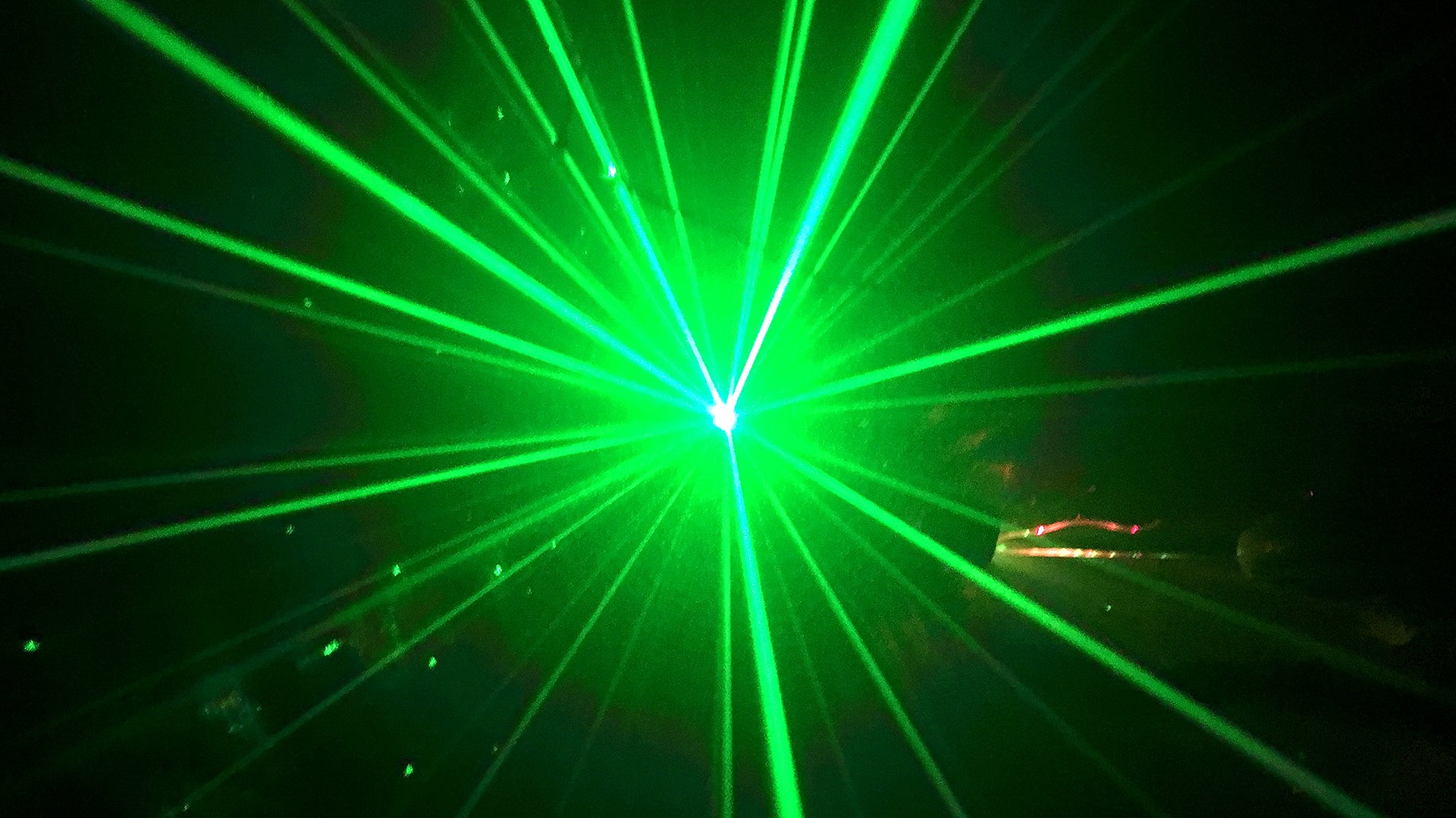
It was a scene right out of a sci-fi thriller: a broad beam of green light emanating from an aircraft overhead scanning across the ground in the darkness. Videos like the one below have been shared on social media, showing the eerie and — for many — outright puzzling scene along the Southern California coast.
The flight left people perplexed, but what was happening is entirely explainable. The aircraft in question was equipped with an advanced lidar system operated by Woolpert, an engineering consulting firm, in support of the National Coastal Mapping Program of the U.S. Army Corps of Engineers (USACE).
Referred to as a bathymetric scan, the purpose of flights like this is to map coastal waters in high resolution. Lidar, short for “light detection and ranging,” uses lasers to precisely measure distances from a receiver. Though the uncanny experience of being scanned from above may be unnerving, the lasers are safe for eyes given the altitude of the plane and the brevity of the exposure.
Twitter users also shared video of what the scanning process looks like from the air. Here you can see the large circular pattern of the lidar scan as it passes over the terrain:
Residents of California’s coasts may be noticing the flights for some time. The mapping process, while highly precise, requires extensive airtime. A 2015 survey in California required more than 1,000 flight lines flown over 90 days, according to a piece written for Lidar Magazine by Jennifer Wozencraft, a research scientist with the USACE. Observers in the area of the current survey will likely notice Woolpert’s King Air 300 Turboprop making repeated passes as part of the data collection process. Some of the flights are being conducted at night to avoid interfering with the region’s heavy air traffic.

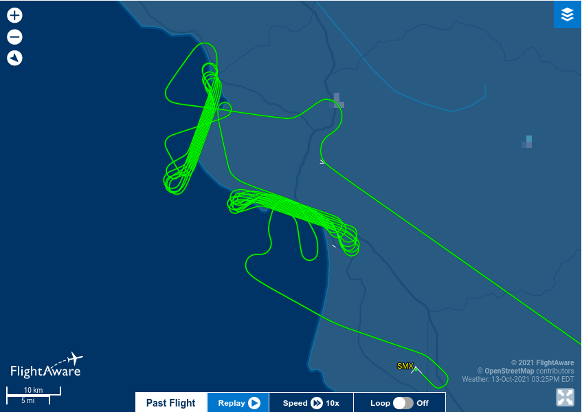
Flight Path of N300WQ
, FlightAwareAccording to a Reddit commentator associated with the program, the specific instrument on board is the Teledyne Optech CZMIL bathymetric system. The sophisticated sensor can reliably capture data down to depths of about 165 feet and can detect objects like sunken vessels or other navigation hazards. It is used to record data in a roughly mile-wide zone where storm surges, waves, and currents create the greatest environmental change and impact on coastal communities.

The National Coastal Mapping Program was established in 2004 and is tasked with mapping coastlines every five years. The data supports work of various kinds done by USACE, as well as the U.S. Naval Meteorology and Oceanography Command (NMOC) and the National Oceanic and Atmospheric Administration (NOAA). Accurate coastal data plays an important role in managing flood risks, ecosystem restoration, and maritime navigation. By repeating the process every five years, the survey also produces highly valuable comparative data to manage climate or storm-related changes. The data is released to the public and academics via NOAA’s Digital Coast website.
One important and ongoing application of the National Coastal Mapping Program is to manage something called shoaling, or the process of sediment deposition in navigation channels. As sand and other materials accumulate, it can create dangerous areas that require dredging. Bathymetry helps track these changes and manage waterways.

Measuring Channel Shoaling Via Lidar
, Airborne Laser Hydrography IIIn recent years, lidar systems have become more accessible and cheaper to operate. Here you can see an example of another mapping system and the kind of high-resolution 3D data it can produce. Systems like these can increasingly be mounted on small planes and even fixed-wing unmanned aerial vehicles, as seen in the video below.

In the meantime, if you’re on the California coast and find yourself being scanned, don’t worry, you aren’t about to be beamed up. It is just the National Coastal Mapping Program capturing the data that helps monitor climate risks while keeping waterways safe.
Updated:
Twitter user @SpacecoastPix has managed to grab pictures of N300WQ, as well as a Reims F406 that carries the U.S. civil registration code N406SD and is also configured for these kinds of aerial survey operations, during the daytime returning to Santa Maria Public Airport District in Santa Barbara County, California. Ports for the lidar sensors installed on the aircraft are plainly visible under their fuselages.
Contact the author: Adam@thewarzone.com
