U.S. satellites with very high-fidelity infrared sensors detected what appears to have been an explosion at Ukraine’s Nova Khakovka dam right before it failed earlier this week, according to a new report. You can read more about what else is known about this incident, over which Ukrainian and Russian authorities continue to trade accusations, in The War Zone‘s earlier reporting.
The New York Times first reported earlier today on the U.S. government’s use of data from infrared sensors on its satellites to try to determine what exactly happened at Nova Khakovka, citing an anonymous official within U.S. President Joe Biden’s administration. Though the specific satellites utilized here have not yet been confirmed, this sounds likely to be the work of the Space-Based Infrared System constellation, or SBIRS. These space-based sensors are primarily intended to watch for ballistic missile launches, but are understood to be sensitive enough to gather useful intelligence data in many other contexts.

“The official said that satellites equipped with infrared sensors detected a heat signature consistent with a major explosion just before the dam collapsed, unleashing massive floodwaters downstream,” according to The Times. “But he added that U.S. spy agencies still do not have any solid evidence about who was responsible.”
If true, the timing of the detection of this heat plume would lend credence to a growing consensus among independent experts and observers that Nova Khakovka was the victim of some kind of deliberate attack or sabotage. A blast might still have occurred as a byproduct of some kind of structural failure or other accident at the dam, which had already been damaged by Russian actions in the past. However, it would seem more likely for this to have happened after the dam broke, rather than right before. If that were to be the case, it would also raise questions about why significant quantities of explosive materials may have been at the site, which was under Russian control at the time, to begin with.
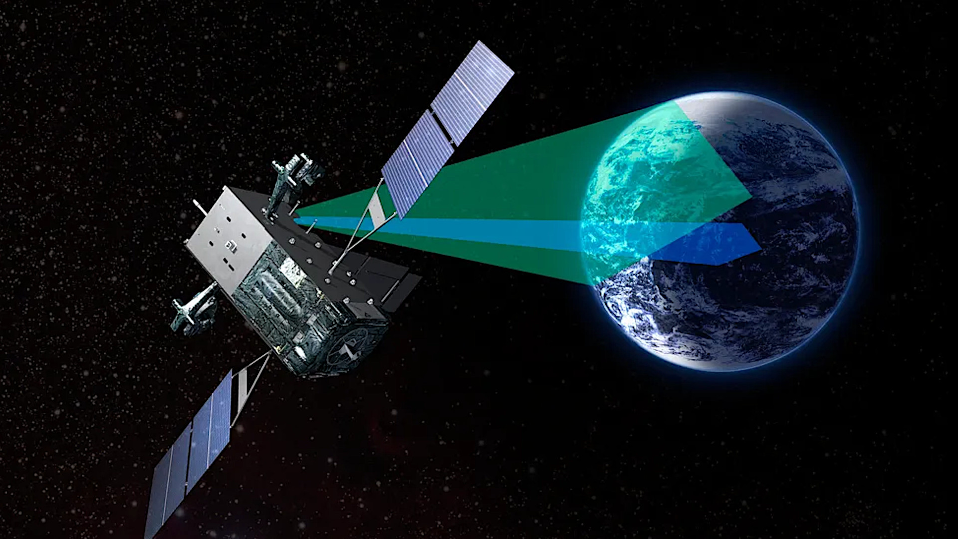
Regardless, this underscores the immense value of the satellites like SBIRS beyond the primary mission supporting U.S. military missile defense operations. U.S. Space Force now oversees the SBIRS constellation, which currently consists of nine known satellites, six in geosynchronous Earth orbits (GEO) and three in highly elliptical orbits (HEO), providing global coverage. Two additional SBIRS satellites were previously transferred to the Missile Defense Agency (MDA) for use as part of its Space Tracking and Surveillance System program and have since been retired. An additional SBIRS satellite is now used for various test work.
SBIRS was developed as the replacement for the 1970s-era Defense Support Program (DSP) constellation, also made up of satellites with powerful infrared sensors primarily intended to spot ballistic missile launches. The U.S. military is now in the process of acquiring successors to SBIRS, including new early warning satellites better able to spot and track new types of hypersonic weapons.

Details about the capabilities of the SBIRS or DSP constellations are highly classified, but sensors on the satellites used in both are understood to be capable of picking up very small infrared signatures. SBIRS, in particular, is said to be able to detect things like relatively small missiles (including ones used in air-to-air engagements), large explosions, and even howitzers and other artillery pieces firing.
Either SBIRS or DSP satellites were able to pick up the downing of Malaysian Airlines Flight 17 in Ukrainian airspace and Metrojet Flight 9268 as it flew over Egypt’s Sinai Peninsula in 2014 and 2015, respectively.
In 2019, The War Zone highlighted how information from satellites like SBIRS could be used to help confirm still contentious and conflicting details about a dogfight between Indian and Pakistani aircraft in 2019.
More recently SBIRS made headlines for its use in its primary role. The satellites provided critical early warning of an Iranian missile barrage aimed at U.S. forces in Iraq in 2020. No American service members were killed in those strikes, though 110 of them were later diagnosed with traumatic brain injuries.

Even before now, the value of space-based infrared sensors had already been shown in the context of the conflict in Ukraine. Experts and other open-source intelligence enthusiasts have often looked to unclassified data from NASA’s Fire Information for Resource Management System (FIRMS) to try to confirm major strikes and other incidents, or to just track the fighting. FIRMS is designed to help monitor wildfires and other fire-related natural disasters (like volcanic eruptions), and the data from its satellites is of a much lower grade than what would be available via SBIRS.
Unclassified publicly available satellite imagery, in general, has been a valuable tool for tracking the aftermath of the failure of the Nova Khakovka dam, too, whatever might have happened to it. Cities and towns downriver are continuing to experience devastating flooding, which authorities in Ukraine say has killed citizens and sent many more fleeing from their homes.
All told, how long it may be until there is a definitive picture of what happened at Nova Khakovka this week and who might be responsible – if that ever happens – remains to be seen. Data from satellites like SBIRS, however, looks to already be playing a useful part in establishing some of the basic facts about the incident.
Contact the author: joe@thedrive.com